
 Ver Tour Virtual
- US$ 32,000 En Venta
Detalles
- Tipo: Terreno
- ID: EB-JO9764
Descripción
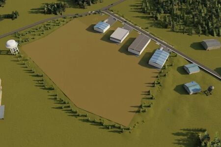
4 Parcels - RANCH-FARM
20 ACRES AERiAL ACRES
KERN COUNTY
NO MINIMUM / NO RESERVE --- HIGH BID OWNS THE LOT
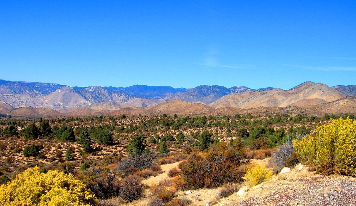
This property is located north-east of Mojave right by the city of Aerial Acres in Kern County. A really growing community. Enjoy the Wonderful 4 Seasons Weather, all in the growth in The Heart of This City! Just across State Route 14, north of State Hwy 58 Barstow-Bakersfield and 395 Fwy. Aerial Acres is a fly-in unincorporated community in Kern County, California. It is located 5.5 miles east-southeast of Castle Butte, at an elevation of 2428 feet.
On the western edge of the Mojave Desert and the eastern foothills of the Tehachapi Mountains, Mojave is uniquely located at the cross-roads of two major highways and is central to many aviation, historical, and natural treasures and activities.
Our list below samples just a few of the unique opportunities available to those who visit Mojave.
Soledad Mountain Mining District – Southwest of Mojave on Silver Queen Road off Highway 14. Gold and silver mining location since the 1890's. Plans are underway to revive the historic Golden Queen Mine.
The mining ghost towns of Garlock, Ransburg, and Johannesburg in the Rand Mining District. Take Highway 14; 25 miles north to the intersection of the Red Rock-Ransburg Road to visit historic mining communities of Ransburg and Johannesburg.
Famous Tehachapi Loop railroad site – west of Tehachapi, visible from Freeway 58 near Broome Road interchange, and on Tehachapi-Woodford Road. Historic railroad loop designed by William Hood in 1876 to help the Southern Pacific Railroad gain the summit of Tehachapi Pass. Perhaps the most famous railroad engineering site in the United States.
For over 30 years, the mountains and foothills surrounding Mojave are home to wind farms generating electricity for Southern California.
Known as the Tehachapi-Mojave Wind Resource Area, the area is considered one of the premier places in the nation for wind power and plays an important part in enabling the state to attain its renewable energy goals.
Values are on the rise! Don’t miss out on this one!
Property Profile:
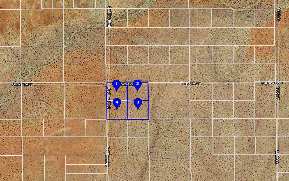
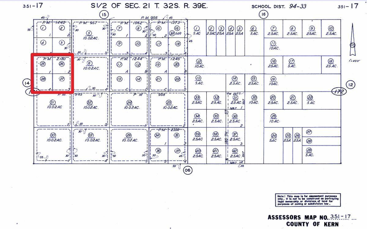
APN:351-171-01-00-9, APN:351-171-02-00-2, APN:351-171-03-00-5, APN:351-171-04-00-8
Legal Description: S 21 T 32 R 39 *PARCEL MAP 1440 LOT 1, and *PARCEL MAP 1440 LOT 2, and *PARCEL MAP 1440 LOT 3, and *PARCEL MAP 1440 LOT 4,
Use: Vacant Land
Lot Size: 2.5 Acres / 108,900 sq. ft. and 2.5 Acres / 108,900 sq. ft. and 2.5 Acres / 109,335 sq. ft., and 2.4 Acres / 108,464 sq. ft.
HOA: NO HOA fees
State/Province: California
Doc Type: Grant Deed
Taxes: Only $39 per year each parcel
County: Kern
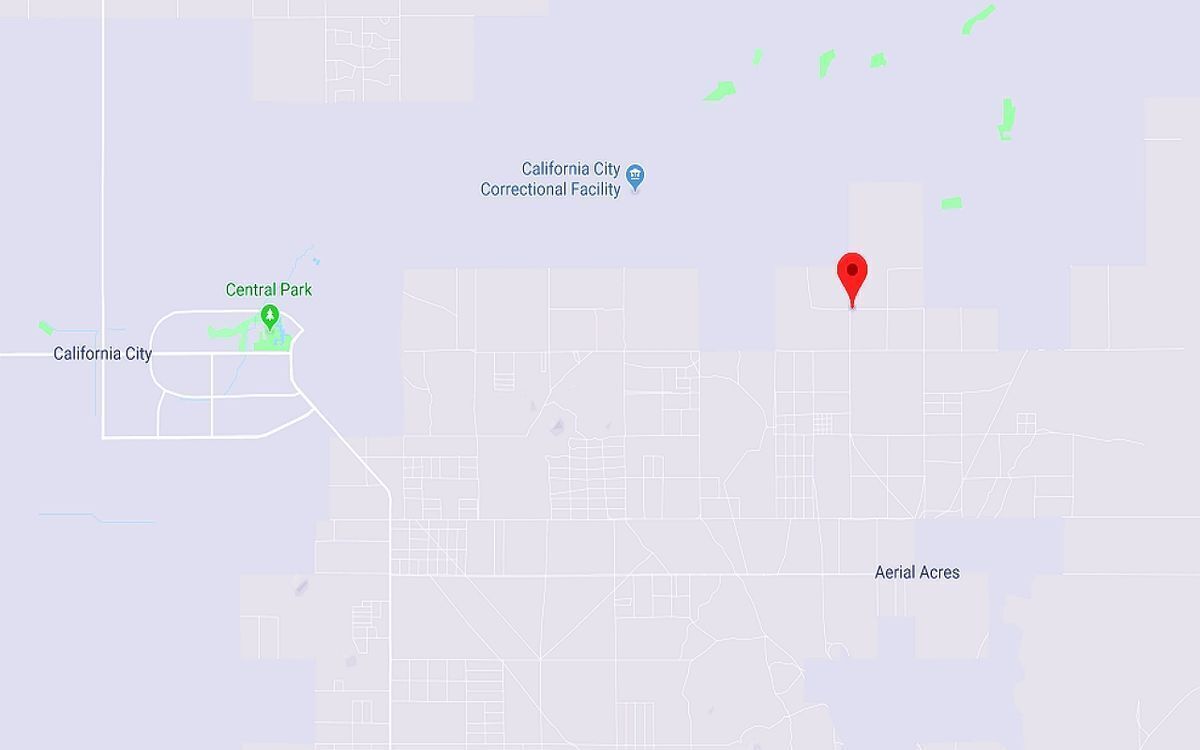
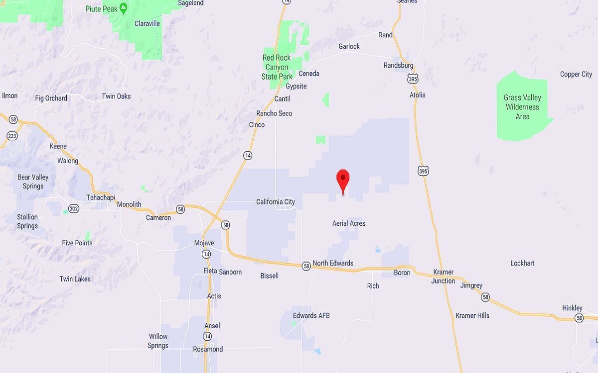
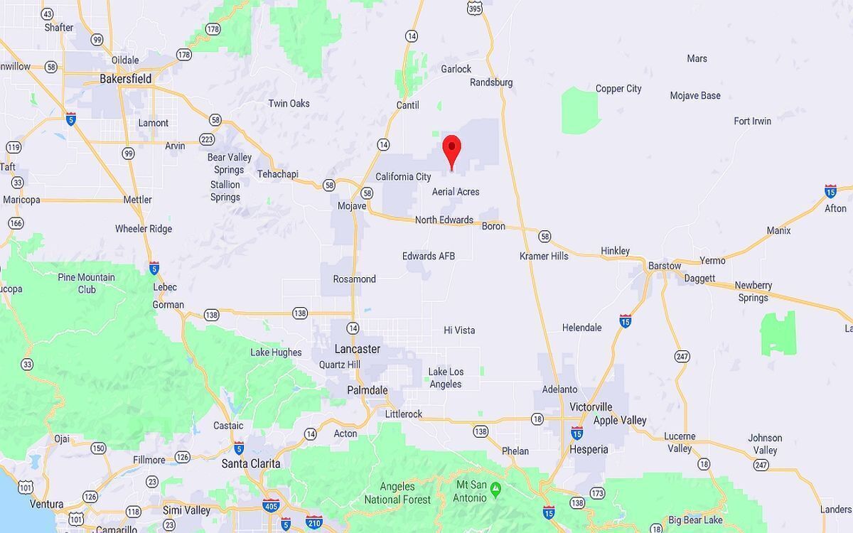
City/ Location: Edwards, CA 93523 See Map.
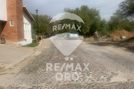
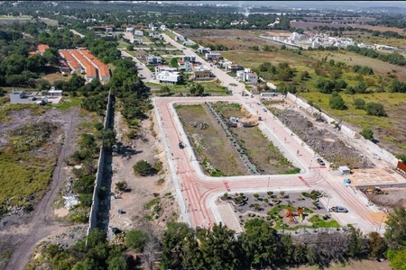
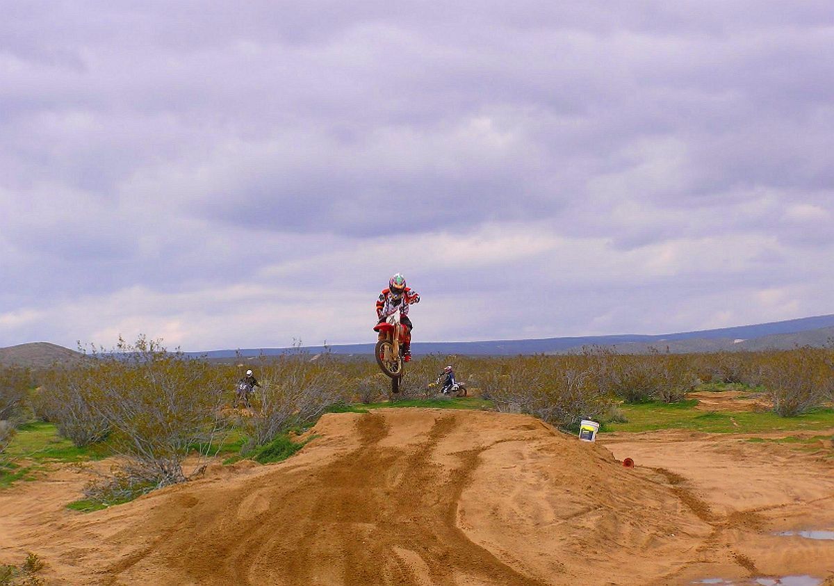
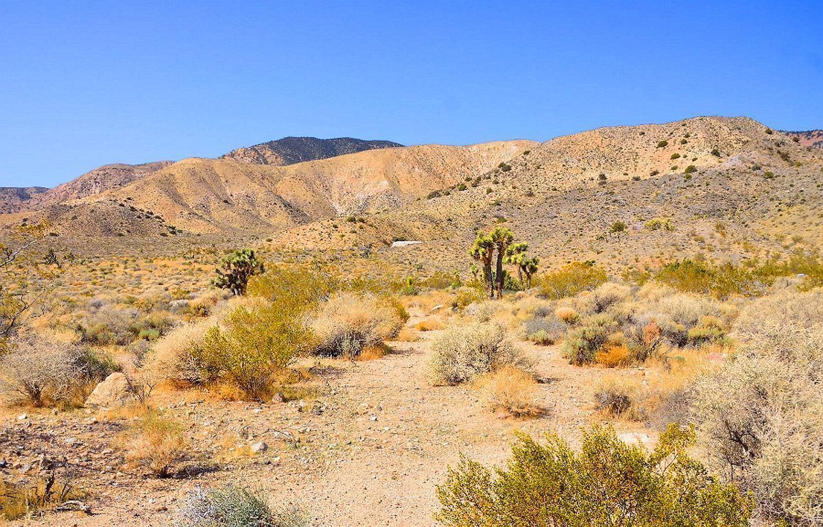
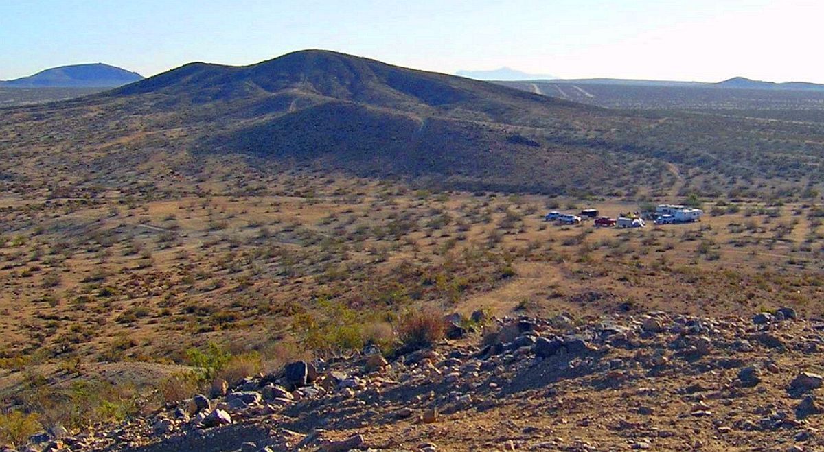
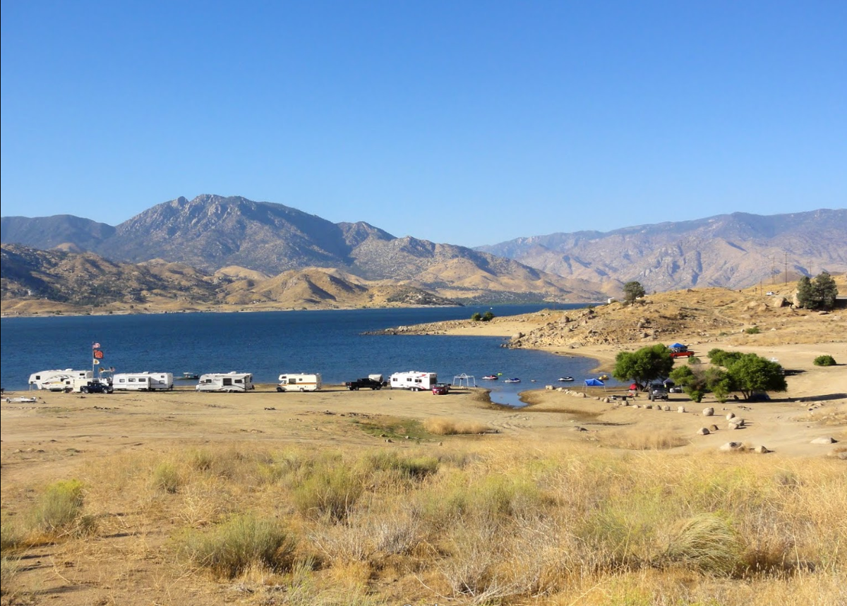
The photos 2, 4, 6, 8, 10, and 12 show the actual property and the surrounding lots. Photos 1, 3, 5, 7, 9, and 11 shows general area.
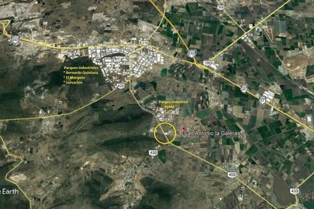
We have also included a County Parcel Map and an aerial Map to help you. The assessor's parcel number to the property in Kern is APN:351-171-01-00-9, APN:351-171-02-00-2, APN:351-171-03-00-5, APN:351-171-04-00-8
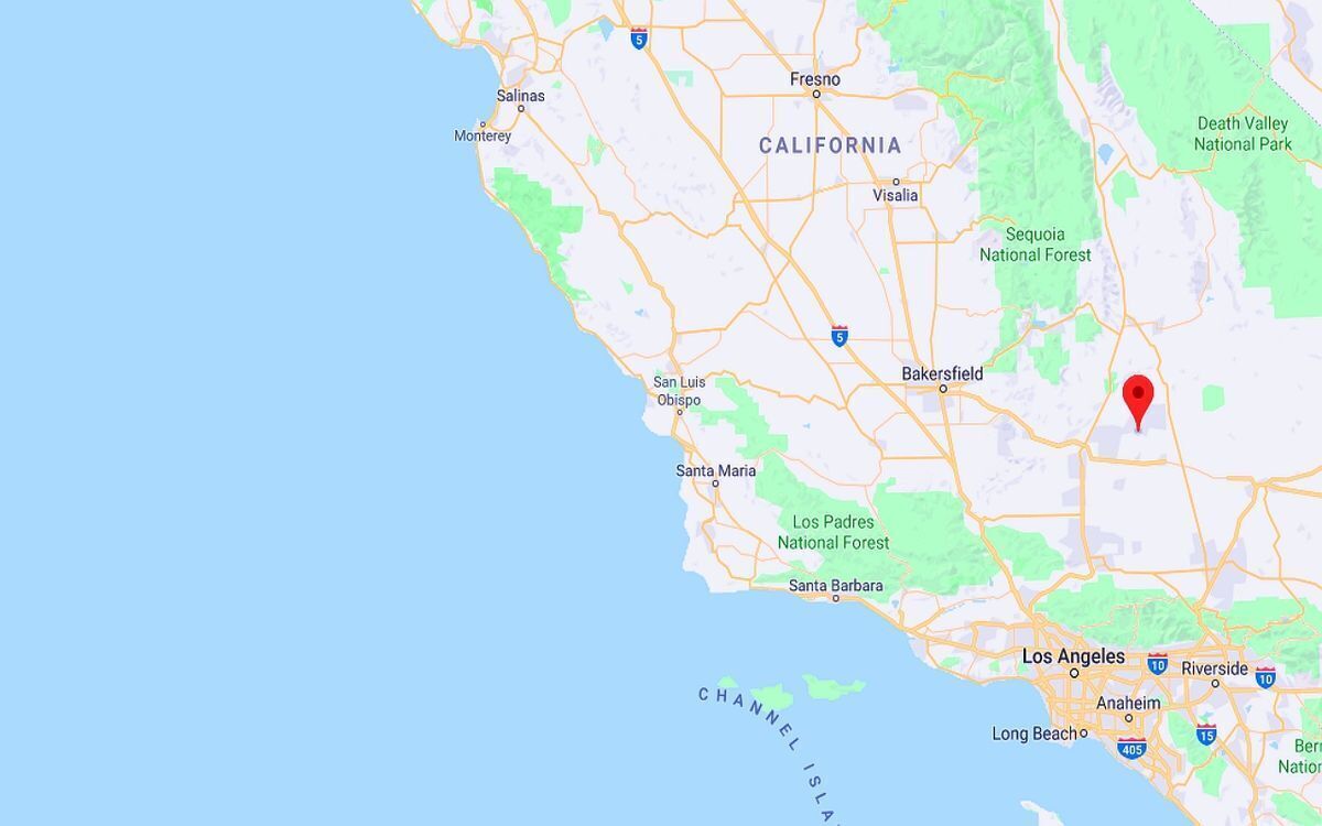
Here is a link (including the GPS coordinates) to view the location of the property on Google Maps:
35.133009,-117.807360
(You may have to copy and paste this to use it.) Once the map pops up, simply use the zoom tool on the left side of that screen to view the map in more detail. You can even view an aerial photo by clicking on the Satellite tab in the upper right portion of that screen.
All information we have on this property is disclosed within the content of the listing page. Any and all other information on this property should be directed toward the city or county of which the property is located in. Your due diligence should be performed prior to bidding, to ensure the property meets your needs and criteria.
20 ACRES AERiAL ACRES
KERN COUNTY
NO MINIMUM / NO RESERVE --- HIGH BID OWNS THE LOT
This property is located north-east of Mojave right by the city of Aerial Acres in Kern County. A really growing community. Enjoy the Wonderful 4 Seasons Weather, all in the growth in The Heart of This City! Just across State Route 14, north of State Hwy 58 Barstow-Bakersfield and 395 Fwy. Aerial Acres is a fly-in unincorporated community in Kern County, California. It is located 5.5 miles east-southeast of Castle Butte, at an elevation of 2428 feet.
On the western edge of the Mojave Desert and the eastern foothills of the Tehachapi Mountains, Mojave is uniquely located at the cross-roads of two major highways and is central to many aviation, historical, and natural treasures and activities.
Our list below samples just a few of the unique opportunities available to those who visit Mojave.
Soledad Mountain Mining District – Southwest of Mojave on Silver Queen Road off Highway 14. Gold and silver mining location since the 1890's. Plans are underway to revive the historic Golden Queen Mine.
The mining ghost towns of Garlock, Ransburg, and Johannesburg in the Rand Mining District. Take Highway 14; 25 miles north to the intersection of the Red Rock-Ransburg Road to visit historic mining communities of Ransburg and Johannesburg.
Famous Tehachapi Loop railroad site – west of Tehachapi, visible from Freeway 58 near Broome Road interchange, and on Tehachapi-Woodford Road. Historic railroad loop designed by William Hood in 1876 to help the Southern Pacific Railroad gain the summit of Tehachapi Pass. Perhaps the most famous railroad engineering site in the United States.
For over 30 years, the mountains and foothills surrounding Mojave are home to wind farms generating electricity for Southern California.
Known as the Tehachapi-Mojave Wind Resource Area, the area is considered one of the premier places in the nation for wind power and plays an important part in enabling the state to attain its renewable energy goals.
Values are on the rise! Don’t miss out on this one!
Property Profile:
APN:351-171-01-00-9, APN:351-171-02-00-2, APN:351-171-03-00-5, APN:351-171-04-00-8
Legal Description: S 21 T 32 R 39 *PARCEL MAP 1440 LOT 1, and *PARCEL MAP 1440 LOT 2, and *PARCEL MAP 1440 LOT 3, and *PARCEL MAP 1440 LOT 4,
Use: Vacant Land
Lot Size: 2.5 Acres / 108,900 sq. ft. and 2.5 Acres / 108,900 sq. ft. and 2.5 Acres / 109,335 sq. ft., and 2.4 Acres / 108,464 sq. ft.
HOA: NO HOA fees
State/Province: California
Doc Type: Grant Deed
Taxes: Only $39 per year each parcel
County: Kern
City/ Location: Edwards, CA 93523 See Map.
The photos 2, 4, 6, 8, 10, and 12 show the actual property and the surrounding lots. Photos 1, 3, 5, 7, 9, and 11 shows general area.
We have also included a County Parcel Map and an aerial Map to help you. The assessor's parcel number to the property in Kern is APN:351-171-01-00-9, APN:351-171-02-00-2, APN:351-171-03-00-5, APN:351-171-04-00-8
Here is a link (including the GPS coordinates) to view the location of the property on Google Maps:
35.133009,-117.807360
(You may have to copy and paste this to use it.) Once the map pops up, simply use the zoom tool on the left side of that screen to view the map in more detail. You can even view an aerial photo by clicking on the Satellite tab in the upper right portion of that screen.
All information we have on this property is disclosed within the content of the listing page. Any and all other information on this property should be directed toward the city or county of which the property is located in. Your due diligence should be performed prior to bidding, to ensure the property meets your needs and criteria.
Ubicación